Waterways SOS from River Canal Rescue (RCR) is a new app that provides you with a fast and easy way to get help and assistance when you need it, from breakdowns to emergencies or even just requests for advice. Just one click of the SOS button will alert us and we will contact you to confirm your situation.
The app utilises your phone’s location services to share your GPS co-ordinates and what 3 words location with our offices allowing us to locate you wherever you might find yourselves. The app also utilises data signal as opposed to network coverage which increases the likelihood that you can contact help when you need it. If for whatever reason you are in need of emergency response, we can forward this directly to the relevant authorities, increasing their ability to locate you quickly.
iOS: Waterways SOS on the App Store (apple.com)
Android: Waterways SOS by River Canal Rescue – Apps on Google Play
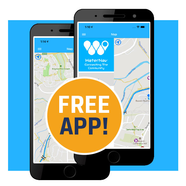
FREE WaterNav App
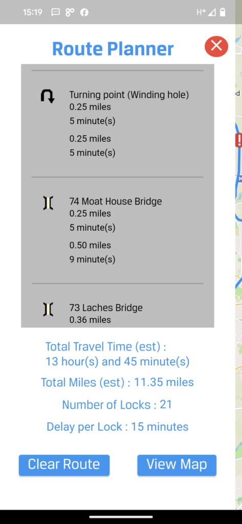
WaterNav is a new app brought to you by River Canal Rescue that aims to provide a place to manage your boating activities. Currently it offers users offline mapping and an account system for managing your RCR membership, but there is lots more in the pipeline that users can look forward to receiving. However, lets walk you through what you get right now when you download WaterNav:
Mapping
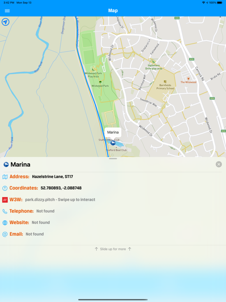
All WaterNav Users (including those who do not set up an account) can access the electronic mapping. And best of all – it works offline so there is no need to worry about signal. It also tracks the phones’ location and marks this on the map, so you always know where you are in the world. If you lose this marker – just click the blue icon at the top left of the map screen and it will jump you back to your location.
The locations (POI’s) that show up on the map are customizable in the map settings menu and there is a large selection of locations available.
When you click on these location markers (POI’s) you will see a tab appear at the bottom of the page with basic information on the place associated with the marker. This tab can be dragged towards the top of the screen to unlock further information about the place.
If you are offline, you will still receive lots of information, but any blank bits are filled in automatically if you have internet connection.
On certain location markers (POI’s) you can find at the very bottom of the tab a “Facilities” menu which can be updated by any WaterNav user. In time we hope that users will keep these facilities lists well updated.