RCR’s WaterNav mapping was developed for both members and non-members to navigate the waterways without the need for physical maps. It also includes our SOS location software – one click and help will be on its way….
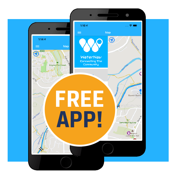
Ditch the mapIt's on the app
FreeWaterNav app
WaterNav provides access OFFLINE, i.e you don’t need internet to access it once downloaded. Giving you access to vital information when you’re out cruising – even when you have no signal.
From pubs, shops, vets, diesel, moorings and all the waterway information on locks, bridges, turning points etc, it’s the essential towpath companions for boaters, ramblers, cyclists, or anyone else enjoying the waterways.
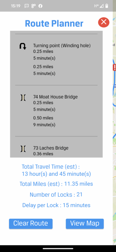
Offering route planning options you can plan a route prior to setting off, or use it to guide you though the waterways….download whilst at home and get planning your next trip…
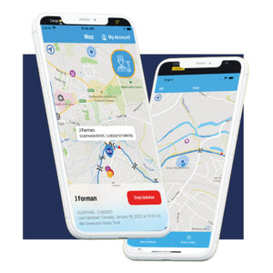
The SOS function utilises your phone’s location services to share your GPS co-ordinates and what 3 words location with our offices allowing us to locate you wherever you might find yourselves.
The system utilises data signal as opposed to network coverage which increases the likelihood that you can contact help when you need it.
If for whatever reason you are in need of an emergency response, we can forward this directly to the relevant authorities, increasing their ability to locate you quickly.
More Info
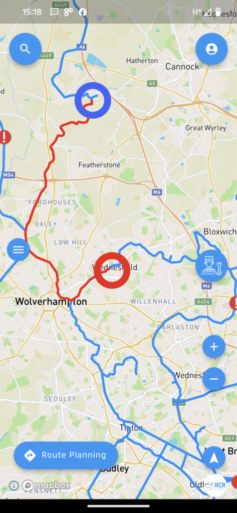
All WaterNav Users (including those who do not set up an account) can access the electronic mapping. And best of all – it works offline so there is no need to worry about signal. It also tracks the phone’s location and marks this on the map, so you always know where you are in the world. If you lose this marker – just click the blue icon at the top left of the map screen and it will jump you back to your location.
The locations (POIs) that show up on the map are customizable in the map settings menu and there is a large selection of locations available.
When you click on these location markers (POIs) you will see a tab appear at the bottom of the page with basic information on the place associated with the marker. This tab can be dragged towards the top of the screen to unlock further information about the place.
If you are offline, you will still receive lots of information, but any blank bits are filled in automatically if you have internet connection.
On certain location markers (POIs) you can find at the very bottom of the tab a ‘facilities’ menu which can be updated by any WaterNav user. In time we hope that users will keep these facilities lists well updated.