WaterNav has been developed by River Canal Rescue to provide online and offline mapping and route planning. It also offers users an account system for managing your RCR membership, but there is lots more in the pipeline that users can look forward to receiving. However, lets walk you through what you get right now when you download WaterNav:
Mapping
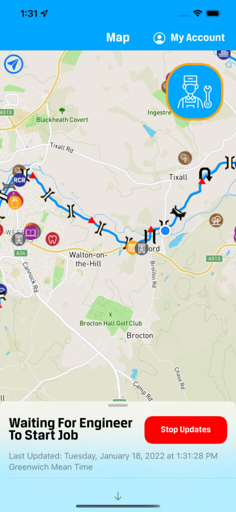
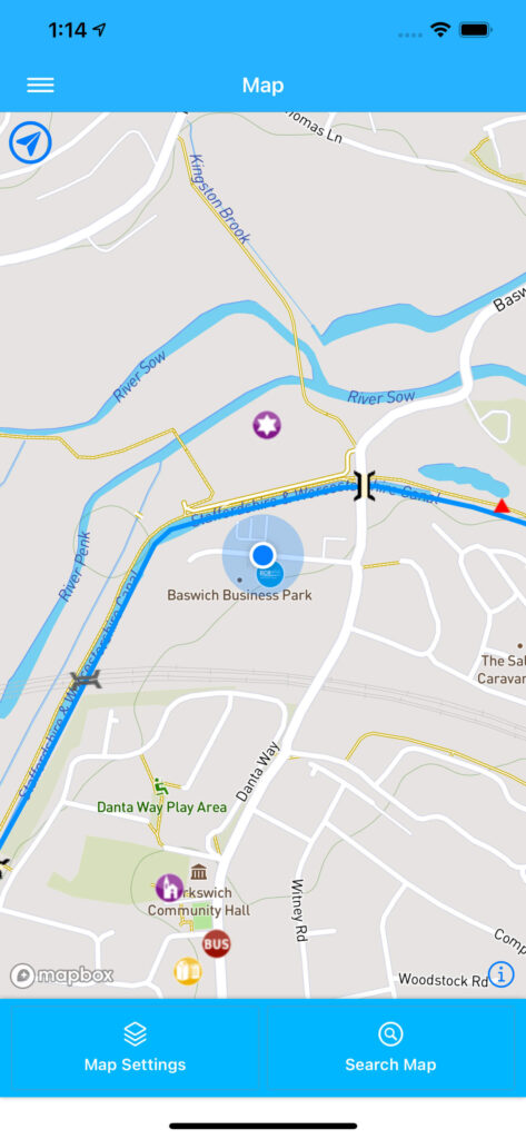
All WaterNav Users (including those who do not set up an account) can access the electronic mapping. And best of all – it works offline so there is no need to worry about signal. It also tracks the phones’ location and marks this on the map, so you always know where you are in the world. If you lose this marker – just click the blue icon at the top left of the map screen and it will jump you back to your location.
The locations (POI’s) that show up on the map are customizable in the map settings menu and there is a large selection of locations available.
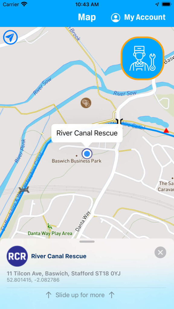
When you click on these location markers (POI’s) you will see a tab appear at the bottom of the page with basic information on the place associated with the marker. This tab can be dragged towards the top of the screen to unlock further information about the place.
If you are offline, you will still receive lots of information, but any blank bits are filled in automatically if you have internet connection.
On certain location markers (POI’s) you can find at the very bottom of the tab a “Facilities” menu which can be updated by any WaterNav user. In time we hope that users will keep these facilities lists well updated.